


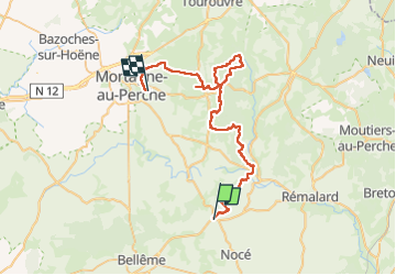

22 km | 28 km-effort

User


FREE GPS app for hiking
 SityTrail
IGN / Geographical institutes
SityTrail World
The world is yours!
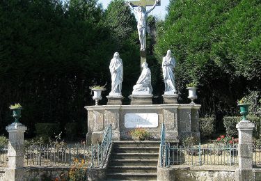
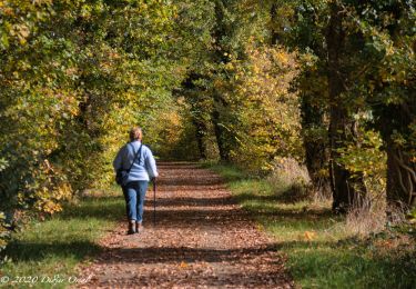
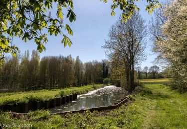
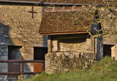
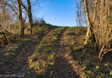
Trail Mountain bike of 46 km to be discovered at Normandy, Orne, Perche en Nocé. This trail is proposed by baruc.
parents Christine maunoury


Walking
Walking
Walking
Walking
Walking
Walking
Walking

Walking
Walking